Your Community, Mapped. Community mapping to support local services.
Identifying the Community
A local community council sought an interactive community map to understand which streets, schools and other facilities fell within the bounds of the council ward to aid with the planning and costing of future services to support the constituents of the area.
Creating an interactive community map
By leveraging data sourced from the local council and OpenStreetMap, an interactive map is created.
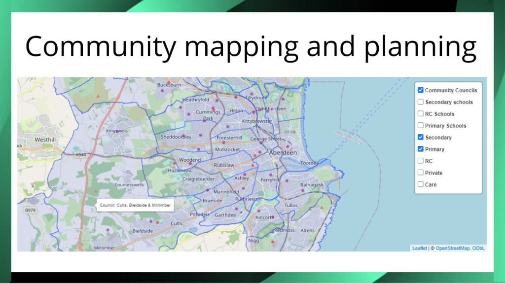
The map shows the geographical boundary of each ward and separately each school catchment area given that the boundaries are not aligned. The user can switch the boundaries on and off on the map dependent upon their requirements.
The location of schools is also plotted on the map with the facility to toggle the locations on/off.
To aid with the export of information, a separate table within the app provides a convenient list of the streets within the council ward selected.
Resource allocation
By combining data from the local Council and OpenStreetMap into an interactive map, a clear view of the local area is provided to support community services planning.
Could your community benefit from a map like this? Let’s chat!
